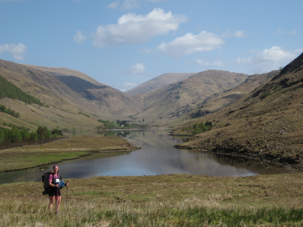
The Cape Wrath Trail runs north from Fort William up to the most northwesterly tip of Scotland at Cape Wrath. It is 200 miles long, and only occasionally resorts to signposted footpaths or roads: mostly it is on rough paths and tracks, or cross country on tussocky grass, rocks and bog. It is generally recognised as being the toughest long distance trail in Britain.
We hiked it over two weeks in late April / early May 2011.
Early on a beautiful spring morning, we caught the tiny passenger ferry across Loch Linnhe from Fort William to Camusnagaul. Despite the choking diesel fumes it felt like a good start to an adventure.

We had some easy walking to start with, following a minor road alongside the loch. Shame about the big trucks on their way to the landfill site though!


Relieved to be leaving the traffic behind, eventually we got onto footpaths and headed into the hills - this was Gulvain.

Our first night's camping at the head of Glen Camgharaidh. There was very little ground which wasn't steeply sloping and / or boggy, but we managed to squeeze in next to these boulders, and the ground was wonderfully soft for sleeping on.

Navigation was a constant preoccupation, as there were very few paths to follow. The guidebook's bird's eye view drawings were of no practical use for hiking, so we'd spent hours plotting our route on the computer, exporting waypoints to our GPS and printing out maps on A4 waterproof paper. Mostly I was using the maps, while Neil manned the GPS and compass.

Camping at Glen Carnach. Although we suffered a bit from condensation on the tent from camping so close to water, more often than not we found that the only flat ground which wasn't too tussocky was right next to lochs and streams.

A pause to check the GPS in the drizzle further up Glen Carnach. On the tops the terrain was rough and bleak, but in the glens the trees were coming into leaf and there were lots of wild flowers. This and the complete absence of midges made it the perfect time of year for doing this hike.

Some easy walking next to a sea loch near Barrisdale.

Rounding the headland, heading for Kinloch Hourn.

Beside Loch Hourn.

The end of the stalker's path along Allt Coire Mhalagain - cross country up the glen from here on!

Glen Shiel Forest near Shiel Bridge.

There was no shortage of lovely mountain streams from which to get drinking water. Neil gave up treating his drinking water after the first couple of days, and suffered no ill effects.

Exposed path above the Falls of Glomach, which drop 150 metres into a narrow ravine.

View towards Loch na Leitreach.

Neil cooking dinner in Glen Elchaig. We cooked on rocks wherever we could, not just because of the fire risk but also to try to avoid getting ticks while we were sitting around cooking. We still ended up with lots of ticks here, we weren't sure if they were from the dead bracken we had to fight through to get through to this level spot of grass, or if they were dropping off the trees. We got used to them eventually, carrying out regular inspections and carefully pulling them off with tweezers.

Clouds gathering over Gleann Bianasdail.

Time to take a rest, eat some food and check the map - next to Lochan Fada.

The end of a cloudy day at Loch an Nid.

The same place, the next morning. An amazing view to wake up to.

Walking past An Teallach in warm spring sunshine.

Ruins at Douchary, probably abandoned at the time of the Clearances. It was hard to imagine how the inhabitants would have made a living from the land in such a bleak and isolated spot.

Waterfall and rock tower in Glen Douchary.

Knockdamph bothy - too nice a place not to spend the night there. The cosy upstairs room had a proper (if somewhat saggy) bed, and the wood panelling had been lined with old newspapers to keep the drafts out, some time early in the 20th century at a guess.


Dinner time by Loch Ailsh. Our appetites increased rapidly, and by this point we were enjoying noodle soup to start, usually Pasta 'n' Sauce with extra meat or cheese, and chocolate to finish.

Breabag from Glen Oykel.

View of Quinag from near Cnoc nan Uamh.

By the time we got to Assynt, we were enjoying some lovely weather. Group of deer cooling themselves near Inchnadamph.

Rough going on the pass between Conival and Breabag.

Another lovely camping spot above Eas a Chual Aluinn waterfall.

Loch Bealach a'Bhuirich, Assynt.

Another check on the GPS.

North of Kylesku.

Sandwood Bay, renowned as one of the most beautiful beaches in Britain.

We'd really been looking forward to a refreshing paddle, but the water was painfully cold - my camera just wasn't quick enough to catch Neil with his feet in the water.

View back across Sandwood Bay.

Rough going on the final stretch ...

There at last!

